
The epzik8 Webpage
Interstate 80 east - Brookville to Woodland

Interstate 80 heads east in Pine Creek Township, Jefferson County, pulling away from exit 81 at Pennsylvania Route 28. (4-10-2026)
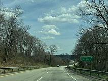
The cities of DuBois and Clearfield are a respective 15 and 34 miles away. (4-10-2026)
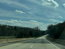
Soon, the Interstate crosses Mill Creek. (4-10-2026)
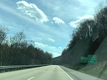
Exit 86, leading toward Reynoldsville, is 2 miles away. (4-10-2026)
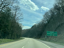
Meanwhile, the DuBois Regional Airport can be reached from exit 90. (4-10-2026)

Hatten Road (Township Road 520) crosses the Interstate here at an uphill angle. (4-10-2026)

There is a rest area located a mile away. (4-10-2026)

Exit 86 is up ahead, specifically intersecting Fuller Road. (4-10-2026)
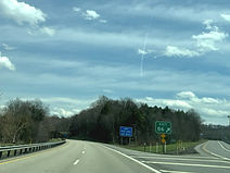
The exit 86 gore sign. (4-10-2026)
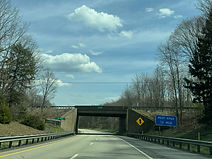
Fuller Road (SR 1830) passes overhead within the interchange, with one bridge over each carriageway of I-80. (4-10-2026)
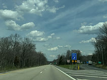
The rest area entrance is on the right. (4-10-2026)

DuBois and Clearfield are now a respective 10 and 29 miles away. (4-10-2026)

The Interstate is now making its way into Washington Township. (4-10-2026)
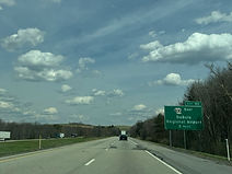
In 2 miles, exit 90 intersects eastbound Pennsylvania Route 830 leading to the DuBois Regional Airport. (4-10-2026)
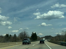
In the meantime, the highway crosses Laurel Run Road (SR 1005) followed by Moore Road. (4-10-2026)

Exit 90 is straight ahead on the right. PA 830 runs 11 miles from here to Sandy Township, in the process looping around 180 degrees and crossing I-80 again. (4-10-2026)

The exit 90 gore sign. (4-10-2026)

Just after exit 90, Stevenson Hill Road (SR 1009) crosses the Interstate. (4-10-2026)

About half a mile later, I-80 crosses Smithtown Road beside Kyle Lake. (4-10-2026)

The next overpass is where PA 830 crosses back over I-80. (4-10-2026)

Exit 97 just ahead can be used to reach the Penn Highlands DuBois hospital. (4-10-2026)

Exit 97 is a mile away, and intersects U.S. Route 219 with control cities of Brockway and DuBois. (4-10-2026)
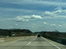
As it approaches exit 97, I-80 crosses a railroad track and Wolf Run. (4-10-2026)

Before the exit, I-80 enters Clearfield County and Sandy Township. (4-10-2026)

Exit 97 is straight ahead on the right. (4-10-2026)

This portion of US 219 is part of the Pittsburgh-Buffalo Highway. (4-10-2026)
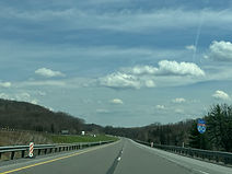
I-80 reassurance immediately follows exit 97. (4-10-2026)
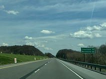
Clearfield and Bellefonte are respectively 21 and 66 miles from here. (4-10-2026)

Exit 101 is 2 miles away, intersecting Pennsylvania Route 255 toward DuBois and Penfield. (4-10-2026)
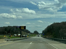
The Interstate crosses Clear Run Road and its namesake waterway behind a newer-style PennDOT variable message sign. (4-10-2026)

Lodging options at exit 101 are posted to the right. (4-10-2026)
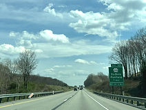
The next exit after 101 is 10 miles away. (4-10-2026)

The exit 101 gore sign. (4-10-2026)
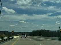
I-80 now makes its way over PA 255, a 40-mile eastern bypass of US 219 between DuBois and Johnsonburg. (4-10-2026)

Soon after exit 101, I-80 passes under Sher De Lin Road. (4-10-2026)

As it eases its way downhill and curves to the left, the Interstate enters Union Township. (4-10-2026)

Behind mile marker 104, the highway then passes under Continental Drive. (4-10-2026)

Then, I-80 enters the Chesapeake Bay Watershed. (4-10-2026)
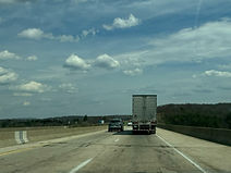
The highway goes on over Anderson Creek Road and its namesake creek. (4-10-2026)
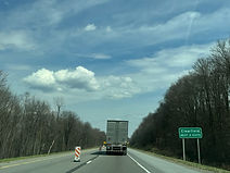
The Interstate's next two exits each serve Clearfield. (4-10-2026)

The highway subsequently enters Pine Township. (4-10-2026)

Exit 111, intersecting Pennsylvania Route 153 leading to Clearfield, is 2 miles away. (4-10-2026)
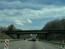
Gordon Road passes overhead before the exit. (4-10-2026)
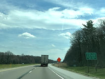
Exit 111 can be used to reach Parker Dam and S.B. Elliott state parks. (4-10-2026)

This green sign points the way to exit 111. (4-10-2026)
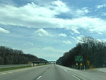
The exit 111 gore sign. (4-10-2026)
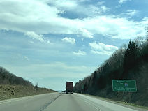
Just after exit 111, I-80 reaches its highest point east of the Mississippi River, situated 2,250 feet above sea level. (4-10-2026)
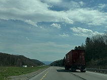
Afterward, the Interstate reaches a hillcrest. (4-10-2026)
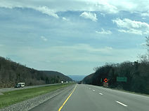
Clearfield and Bellefonte are now a respective 11 and 53 miles away. (4-10-2026)
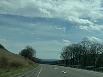
For the next two miles, the two carriageways of I-80 will be at staggered elevations. (4-10-2026)

A wide curve to the right sits ahead. (4-10-2026)

As it straightens out, the highway enters Lawrence Township. (4-10-2026)
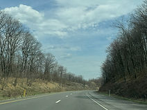
The Interstate curves left, then back right. (4-10-2026)

Straightening out again, it prepares to pass under Flegal Road. (4-10-2026)

In 2 miles, I-80 will intersect Pennsylvania Route 879, which has control cities of Clearfield and Shawville, at exit 120. (4-10-2026)
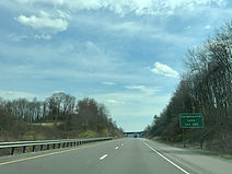
Exit 120 serves interests to Curwensville Lake. (4-10-2026)
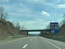
Before the exit, Goshen Road crosses the Interstate. (4-10-2026)
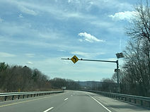
Drivers have to deal with a wide curve to the left before the exit. (4-10-2026)

After completing its curve, I-80 reaches exit 120. (4-10-2026)

I-80 makes its passage of PA 879 here. (4-10-2026)

This is followed by I-80 signage. (4-10-2026)
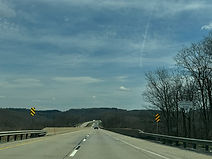
Immediately east of exit 120, I-80 crosses the West Branch of the Susquehanna River. (4-10-2026)
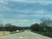
At the end of the bridge, at mile 120.2, I-80 enters Bradford Township. (4-10-2026)

Exit 123 intersects Pennsylvania Route 970 toward Woodland in 2 miles. This is the last exit to U.S. Route 322 for interests to Philipsburg and State College. (4-10-2026)

Blank blue service signs sit prior to exit 123. (4-10-2026)
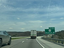
Exit 123 is straight ahead on the right. (4-10-2026)